Highlight: “What I do is always new and changing… challenging and engaging” – Susan Howard
Background
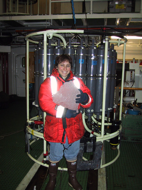
Susan stands in front of a CTD cast holding a block of ice on the 2001 U.S. Southern Ocean GLOBEC cruise.
Susan’s passion for polar research began during her undergraduate education at Rutgers University where she studied physics and mathematics. During her time at Rutgers, she realized her desire to apply these skills to something more tangible that could make a real difference in the world and found herself taking oceanography classes and focusing her senior thesis on climate oscillations. This led to working with Dr. Laurie Padman at Oregon State University where Susan earned her Master’s degree and began studying tides.
Research Interests
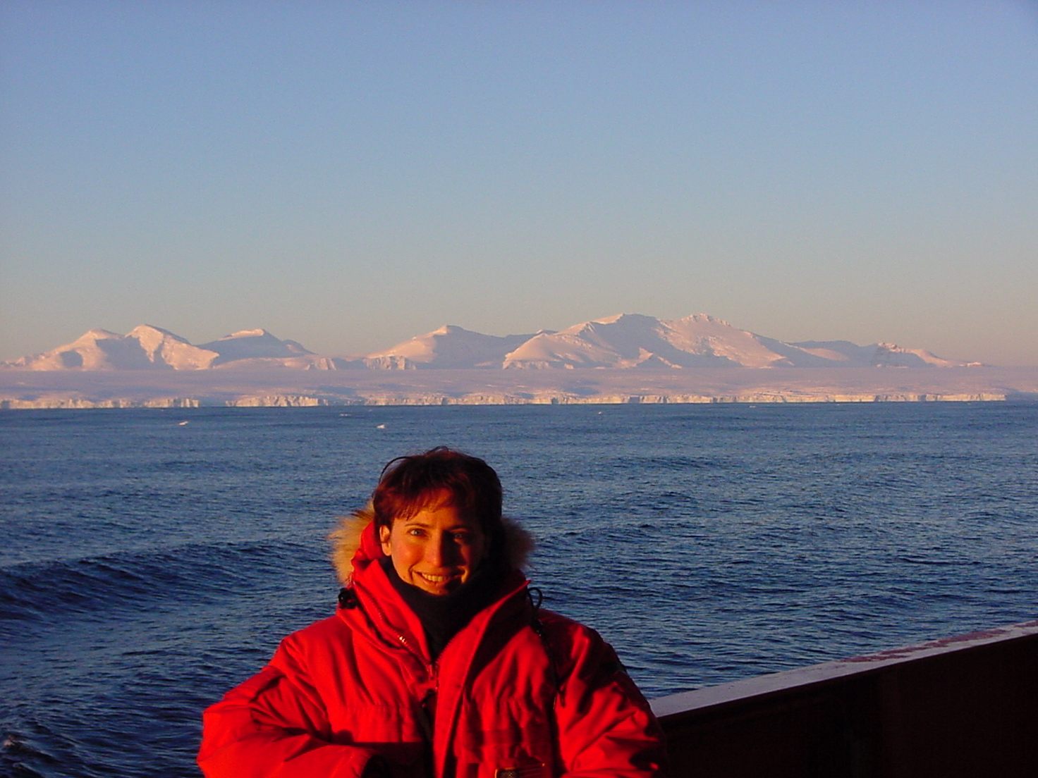
Susan heading home on the NBP0103 after a successful U.S. Southern Ocean GLOBEC cruise.
When asked about the primary issues Arctic communities are facing today, Susan emphasized that under warming conditions, the Arctic is facing issues such as sea ice loss, melting permafrost, sea level rise, and new Arctic shipping routes. These issues will have huge impacts on Arctic infrastructure, food sources, hunting methods, wildlife, pollution, and more. Tides are a crucial component of the Arctic environment and affect ocean circulation and mixing, modify sea ice distribution, increase mass loss from the Greenland ice sheet and ice shelves, influence shipping routes, and more. Despite their importance, polar tides are a difficult process to measure directly due to the logistical issues of deploying tide gauges in remote locations and damage from sea ice to coastal tide gauges. Satellite-based techniques, on the other hand, are complicated due to orbit limitations of some satellites at high latitudes and by sea ice contamination of altimeter signals. Due to these gaps, scientists use tide models for information on tides, producing a need for model validation. Susan aims to fill in these gaps by working with colleagues to create the Arctic tidal constituent atlas.
Dataset Highlight
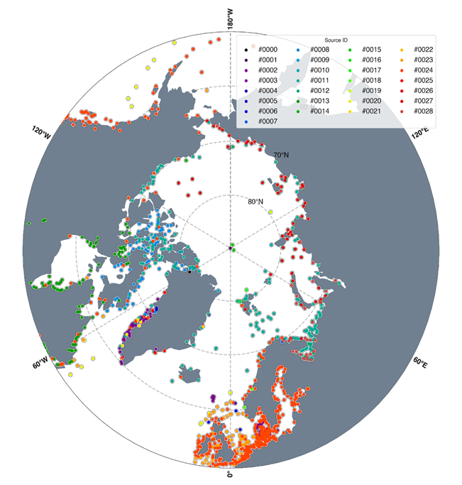
Distribution of ArcTiCA data color-coded by data source. See documentation for more details.
As part of this research effort, Susan and colleagues combined in-situ measurements from coastal tide gauges, ocean bottom pressure sensors, and Global Navigation Satellite System (GNSS) reflectometry to produce a comprehensive dataset of Arctic tidal constituents from over 1900 sites between 50° N and 90° N. The result is a new dataset hosted by the Arctic Data Center- Arctic Tidal Constituent Atlas (ArcTiCA) : A database of tide elevation constituents for the Arctic region from 1800 through present day. ArcTiCA combines tide gauge data and metadata to create a comprehensive database that can be used to validate Arctic models and increase confidence in them. ‘Data’ and ‘expert opinion’ flags are based on the source of the data and an assessment of the quality of the data based on the details that are known about the dataset and processing techniques and are included to help researchers determine the usefulness of the data.
While ArcTiCA is meant to be a one-stop-shop for in-situ data, the authors emphasize that they intend for the dataset to continue to evolve and grow and encourage feedback and/or recommendations on data that you’d like to see included. Check out the Arctic Tides data portal, hosted by the Arctic Data Center, here, and the paper that describes the dataset here.
People & Places
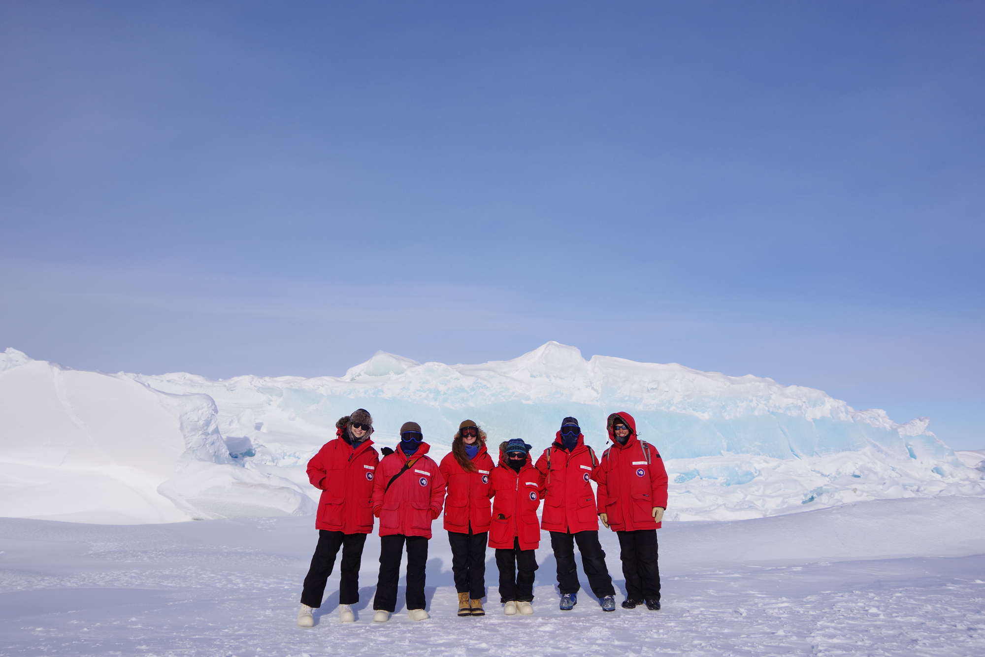
Susan Howard, along with other members on the ROSETTA-Ice team, checking out the pressure ridges near McMurdo Station.
When asked about the most rewarding part of her career thus far, Susan immediately commented on the amazing people she gets to work with. The formation of international collaborations on the ArcTiCA database has allowed the team to accomplish more, increase the amount of data, spark new ideas, and has resulted in a better product.
She further explained that “what I do is always new and changing and being able to work on a large range of projects is always challenging and engaging”. One of her favorite parts of being a research scientist is the opportunity to conduct field work. Specifically, her coolest field experience was traveling to McMurdo Station in Antarctica and flying over the Ross Ice Shelf while working on the ROSETTA-Ice Project in 2017.
Technology
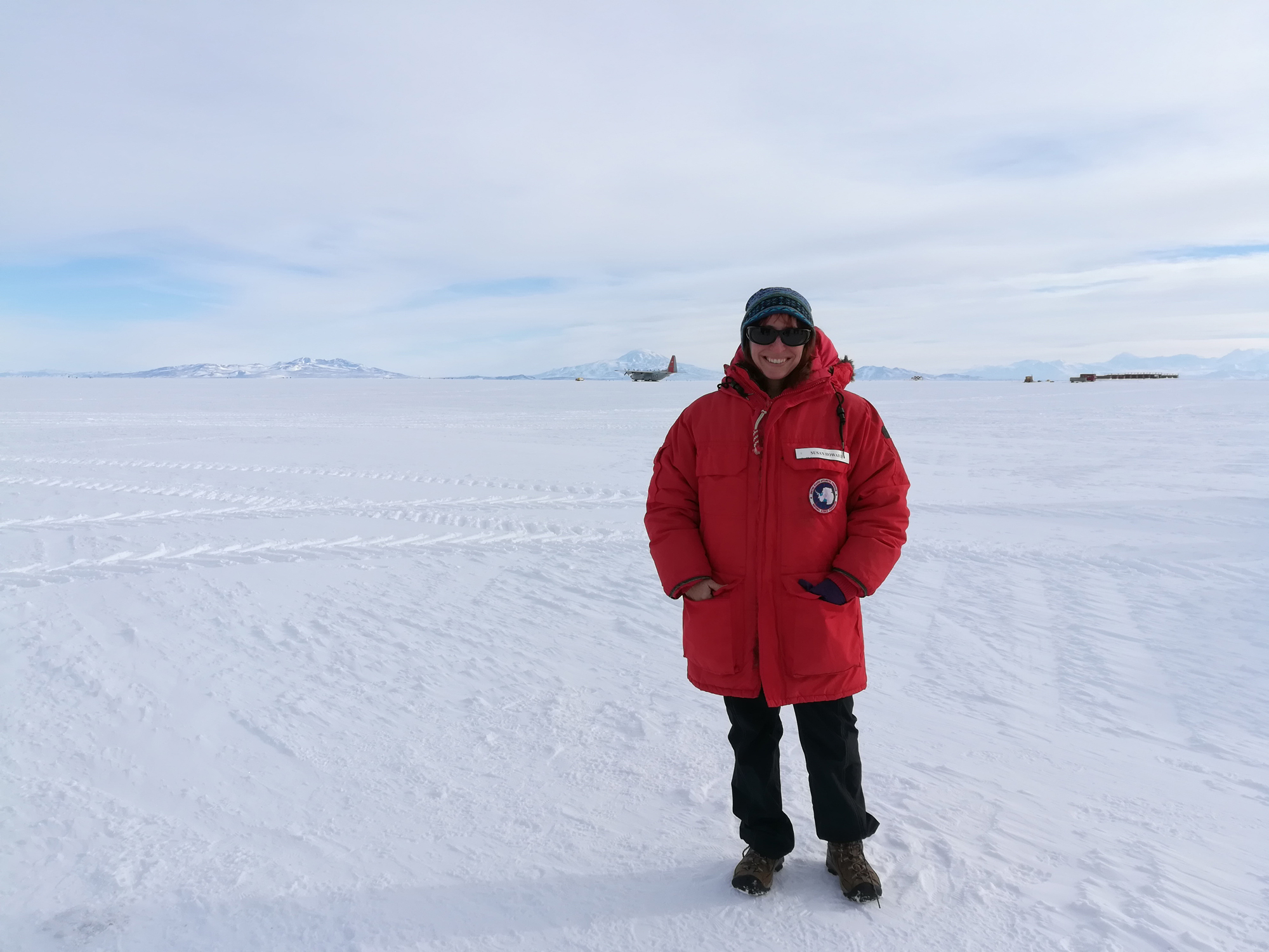
Susan at Williams Field on the Ross Ice Shelf during the ROSETTA-Ice 2017 fieldwork season.
To complete the ArcTiCA dataset, the team collected data from a variety of sources such as tide gauges, sea level and bottom pressure sensors, GNSS interferometric reflectometry, and published and unpublished tidal coefficients. The software package UTide was used to estimate tidal constituents when raw data was available and allowed for more seamless updating of the dataset. When asked about technological innovations that could aid future Arctic research, Susan explained that better satellite altimetry would increase our understanding of tides and the introduction of artificial intelligence and machine learning approaches may be used to help produce better tide models.
How is the Arctic Data Center useful for researchers?
 When asked how the Arctic Data Center has helped with her research, Susan stated that the ADC helped formalize the data packed she serves and assisted in creating higher quality products through feedback from the data and development teams. She further emphasized her appreciation for the data portals, which allow scientists to combine projects together into larger packages that are useful for other researchers.
Dataset Citation: Mike Hart-Davis, Susan L Howard, Richard Ray, Ole Andersen, Laurie Padman, Frank Nilsen, & Denise Dettmering. (2023). Arctic Tidal Constituent Atlas (ArcTiCA) : A database of tide elevation constituents for the Arctic region from 1800 through present day. Arctic Data Center. doi:10.18739/A2VT1GR64.
Written by Nicole Greco
Community Engagement and Outreach Coordinator, Arctic Data Center
